Damanjug
E
elie
Updated
Geographical Address
Country
Province
City
Postal Code
6035
latitude
10.03
longitude
123.47
Area
85.53 km2
Founded
1855
Division
Central Visays
Region
VII

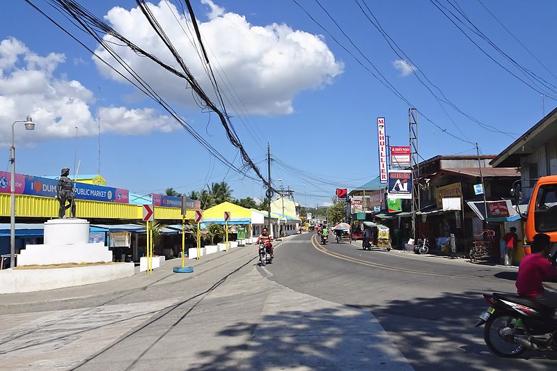
Dumanjug is a 3rd municipal income class municipality in the province of Cebu, Philippines, 73 kilometres (45 mi) south of Cebu City. According to the 2015 census, it has a population of 51,210.[4] In the 2016 electoral roll, it had 32,494 registered voters.[5]
It was established in 1855.[6] Based on the cadastral survey map of the Department of Environment and Natural Resources (DENR), Dumanjug has an effective land area of 8,544 hectares (21,110 acres). It is situated between Barili in the north and Ronda in the south. On the eastern border are Sibonga and Argao while on the western side is the Tañon Strait.
https://en.wikipedia.org/wiki/Dumanjug,_Cebu

Map
{{#ratings}}
{{title}}
{{#ownerCreatedBlock}}
{{/ownerCreatedBlock}}
{{#category}}
{{#editor}}
{{/editor}}
{{#user}}
{{/user}}
{{/ratings}}
-
{{#owner}}
-
{{#url}}
{{#avatarSrc}}
{{name}} {{/url}} {{^url}} {{#avatar}} {{& avatar}} {{/avatar}} {{name}} {{/url}} - {{/owner}} {{#created}}
- {{created}} {{/created}}
Category: {{category.title}}
{{/category}}
{{#fields}}
{{#showLabel}}
{{/fields}}
{{label}}:
{{/showLabel}}
{{& text}}
