- City and Installation Guide
- City Listings (new)
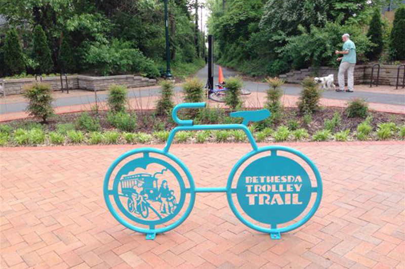
- Bethesda Trolley Trail
Bethesda Trolley Trail


City Listings
Geographical Address
Contact Info
Business Info
- Mon 12:00 am - 12:00 am
- Tue Closed
- Wed Closed
- Thu Closed
- Fri Closed
- Sat Closed
- Sun Closed Closed now
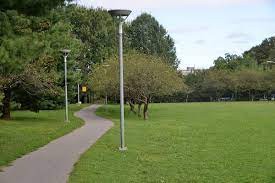
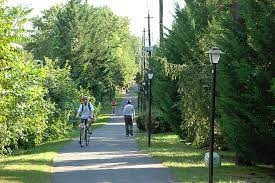
The Bethesda Trolley Trail—also known as the North Bethesda Trail—is a 4-mile path linking Bethesda and North Bethesda, primarily by bridging two major highways. The trail occupies the abandoned right-of-way of the Tennallytown and Rockville Railroad’s streetcar line. The two pedestrian- and bicycle-only bridges across Interstate 270 and Interstate 495 (the Beltway) help connect neighborhoods once fairly isolated from each other due to the busy freeways.
Unfortunately, the short length of the trail and lack of connections to other trails or landmarks keep the Bethesda Trolley Trail either a local resource for low-impact recreation or a bicycle commuter's solution to crossing the nearby interstates. The trail is signed north of Edson Lane to the Twinbrook Metro Station in Rockville, but most of the route is on sidewalks or roads. The same goes for the signed trail south of Charles Street in Bethesda, where a skinny sidewalk along Old Georgetown Road leads to another short segment of trail through the campus of the National Institutes of Health.
Parking and Trail Access
Parking for the Bethesda Trolley Trail can be found at Fleming Local Park off Fleming Road in North Bethesda.

Map
-
{{#owner}}
-
{{#url}}
{{#avatarSrc}}
{{name}} {{/url}} {{^url}} {{#avatar}} {{& avatar}} {{/avatar}} {{name}} {{/url}} - {{/owner}} {{#created}}
- {{created}} {{/created}}
