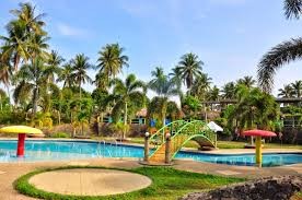
Calabanga
E
elie
Updated
Geographical Address
Country
Province
City
Postal Code
4405
latitude
13.72
longitude
123.28
Area
163.8 km2
Founded
1578 (Quipayo) 1756 (Calabanga)
Division
Luzon
Region
V

Calabanga, /kæləˈbəŋɑː,
It has a land area of 16,380 hectares (40,500 acres), which constitutes 3.1% of the Camarines Sur's land area.
https://en.wikipedia.org/wiki/Calabanga,_Camarines_Sur

Map
{{#ratings}}
{{title}}
{{#ownerCreatedBlock}}
{{/ownerCreatedBlock}}
{{#category}}
{{#editor}}
{{/editor}}
{{#user}}
{{/user}}
{{/ratings}}
-
{{#owner}}
-
{{#url}}
{{#avatarSrc}}
{{name}} {{/url}} {{^url}} {{#avatar}} {{& avatar}} {{/avatar}} {{name}} {{/url}} - {{/owner}} {{#created}}
- {{created}} {{/created}}
Category: {{category.title}}
{{/category}}
{{#fields}}
{{#showLabel}}
{{/fields}}
{{label}}:
{{/showLabel}}
{{& text}}
