Dumangas
Hot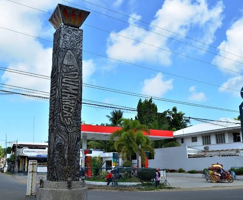
Geographical Address

Dumangas, officially the Municipality of Dumangas, is a 1st class municipality in the province of Iloilo, Philippines. According to the 2015 census, it has a population of 69,108 people.[3]
Dumangas is located north-east of Iloilo City on the island of Panay, east of the province of Iloilo. Surrounded by the towns of Barotac Nuevo in the north, Pototan in the west, Zarraga in the south and the waters and islands of Guimaras and Negros Occidental in the east.
Like most parts in the Philippines, Dumangas is a rural town where agriculture and livestock are predominant. It is home of the Haw-as Festival.
It has a lot of tributaries like the rivers of Barasan, Agdarupan, Paloc, Talusan, Dumangas, Sulangan, Talauguis and Jalaur. Natural features found in Dumangas includes the mountains and hills of Ermita, Binaobao and Rosario. Sulangan has its own mini version of the "tinagong dagat" where a spring can be found and Binaobao has the Matagsing and Lacaran has the Elehan Caves.
Known tourist spots in the town includes the Lacaran Beach, Bacay Beach, Nalooyan Beach, Tinagong Dagat, fishponds in many barangays, the Aglipayan Church, the Ermita Shrine, the San Agustin Catholic Church, the RoRo Port, the coastal road and seafood restaurants found in the Monfort Coastal Road.
Although an hour drive from the port city of Iloilo, Dumangas continues to retain its provincial standing, but whose commitment to certain fundamental community values and innovation has produced many in the way of medicine, law and education. The town is one of the seven first class municipalities in Iloilo and the richest and the most populated municipality in the fourth district of Iloilo. It is also a fast-growing municipality and expected to become a component city in the future.
https://en.wikipedia.org/wiki/Dumangas,_Iloilo

Map
-
{{#owner}}
-
{{#url}}
{{#avatarSrc}}
{{name}} {{/url}} {{^url}} {{#avatar}} {{& avatar}} {{/avatar}} {{name}} {{/url}} - {{/owner}} {{#created}}
- {{created}} {{/created}}
